Issue
Coastal New England routinely experiences inundation induced by harsh extratropical storms known as “nor’easters.” These events often lead to the destruction of coastal properties, breached barrier beaches, and severe coastal erosion. The potential for higher sea levels due to global climate change could make the impacts from storm surge to this densely populated coast significantly more severe. Currently, flood warnings targeted at coastal populations may have limited effectiveness because they cover too large an area and are provided in limited formats that lack a visual component.
Process
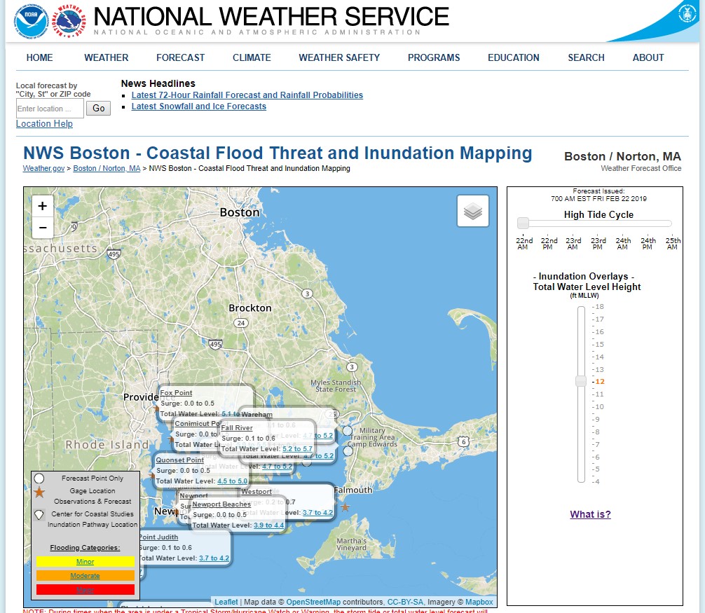
Coastal flooding visualization tools were created to help local officials predict and communicate the impacts of coastal inundation and storm tides. The mapping applications use freely available coastal lidar data, Web mapping application program interfaces (APIs), and methods from the NOAA Office for Coastal Management’s GIS-based Coastal Inundation Mapping course. The tools were tested in Scituate, Massachusetts, and Saco, Maine, and are being expanded to other coastal regions.
Impact
The graphical, GIS-based maps allow decision makers and the public to visualize where coastal inundation might occur and its impacts on people, infrastructure, and resources. Maps created to illustrate the most probable outcomes and potential worst-case scenarios from nor’easter or hurricane flooding impacts lead to more accurate coastal flood warnings, enhancing public safety and increasing community resilience to coastal storms.

Additional Information
- Experimental Inundation Viewer for Scituate, Massachusetts
- Experimental Inundation Viewer for Saco, Maine
