When it comes to making decisions about how the ocean is used, there’s a lot to consider. Ocean planning is a growing field that uses science and information to advance local and regional interests and keep the ocean and the economy healthy. Below are helpful resources to use when beginning an ocean-related project.
Explore Data
-
Tool
Marine Cadastre National Viewer
Access key data related to important ocean planning, including Aids to Navigation, Federal Consistency Geographic Location Descriptions, Ocean Disposal Sites, Wastewater Outfalls, and other ocean planning data.
-
Tool
AccessAIS
Use this tool to interactively view and download U.S. vessel traffic data across user-defined geographies and time periods.
-
Tool
Environmental Studies Program Information System
Search Bureau of Ocean Energy Management study information, including study profiles, technical summaries, final reports, and links to publications and digital data.
-
Tool
Marine Minerals Information System
View and access data and information relevant to offshore mineral resources throughout the U.S. Atlantic, Gulf of America, and Pacific Outer Continental Shelf.
-
Tool
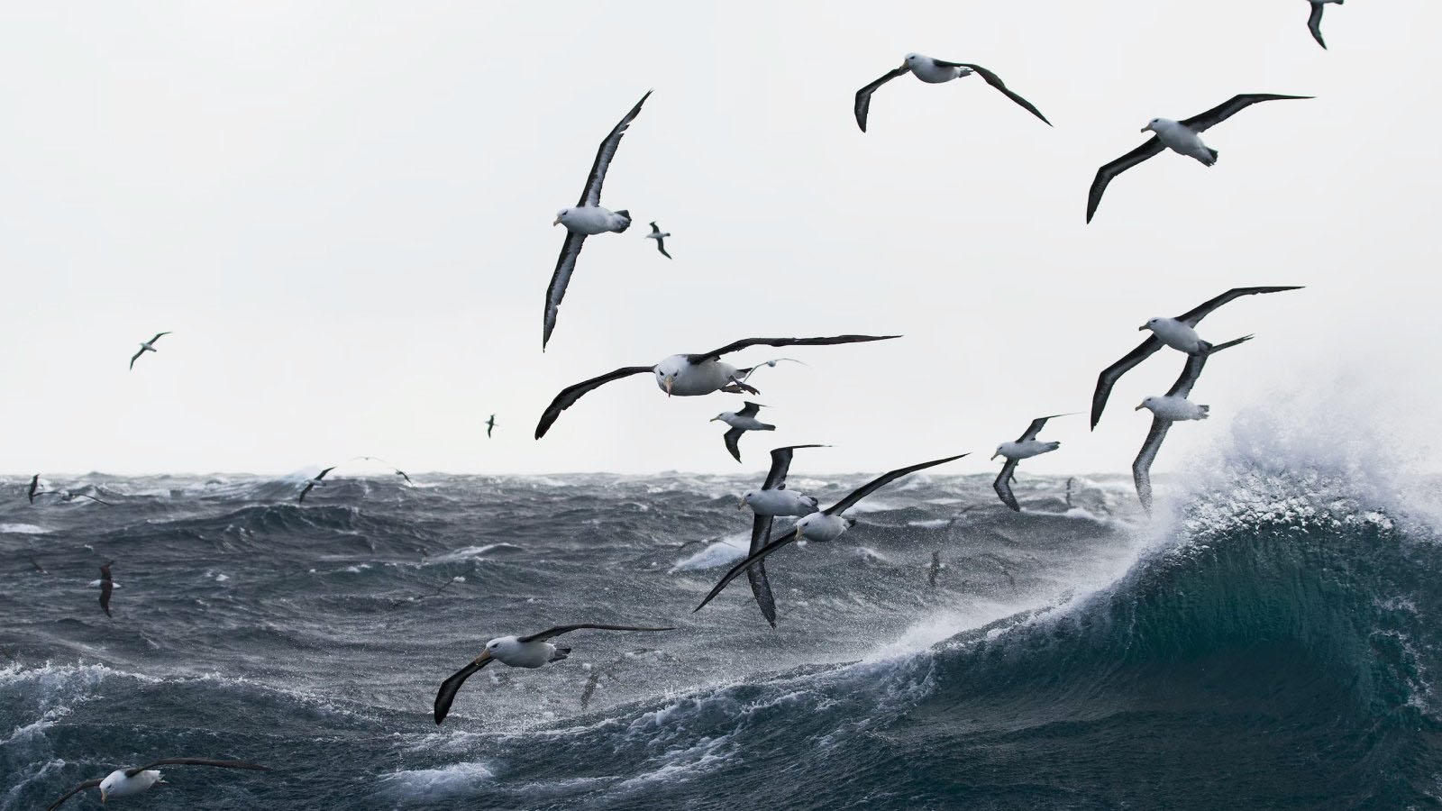
Essential Fish Habitat Mapper
View habitats that the National Marine Fisheries Service and the regional fishery management councils have identified and described as necessary to fish for spawning, breeding, feeding, or growth to maturity.
Learn from Others
-
Story from the Field
Harnessing the Power of Macroalgae in the Caribbean
Discover how OceanReports was used to better predict seasonal locations of algal biomass for mariculture.
-
Story from the Field
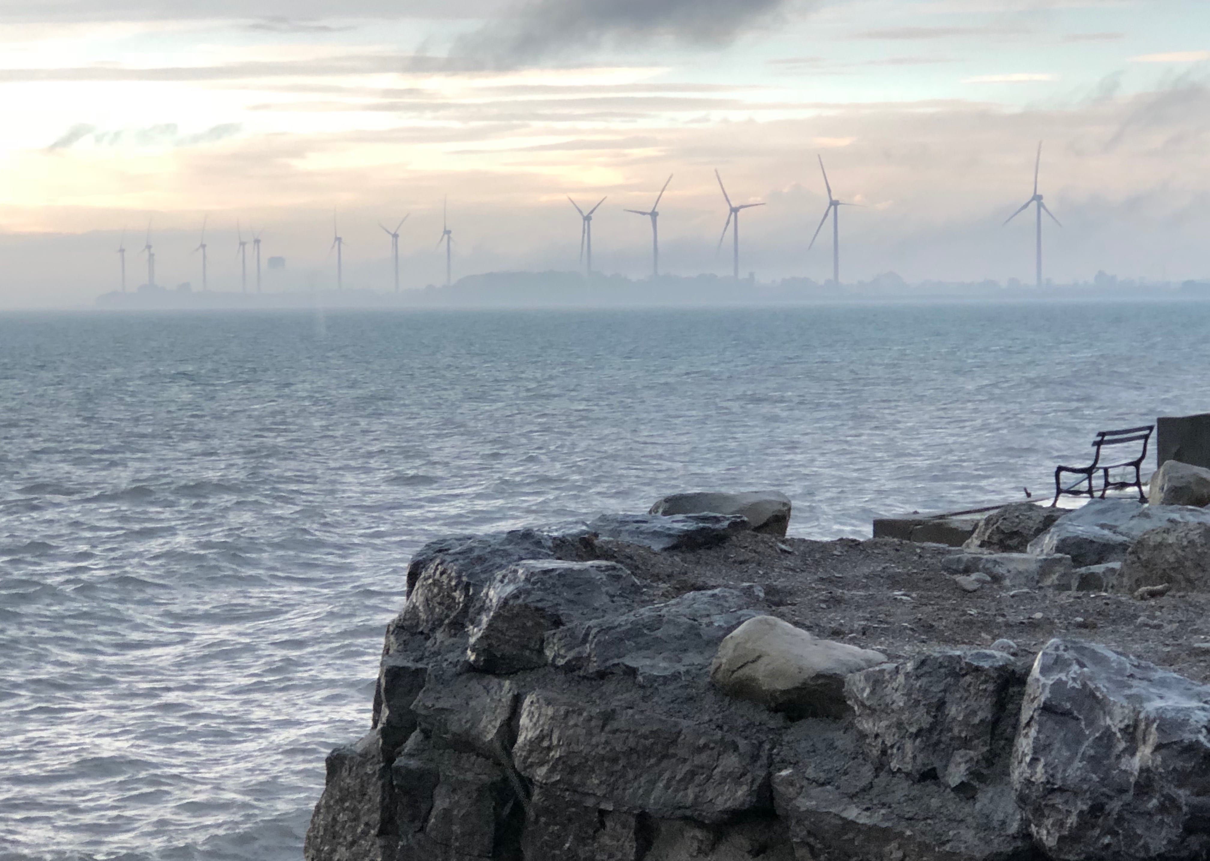
Informing Offshore Wind Planning with Vessel Traffic Data in the Atlantic
Understand how vessel traffic data were used to identify stakeholders to include in conversations about offshore planning areas.
-
Story from the Field
Analyzing Potential Aquaculture Opportunity Areas in Federal Waters off Southern California and the Gulf of America
Data from Marine Cadastre and OceanReports were used to evaluate small, defined geographic areas to determine their potential suitability for commercial aquaculture.
-
Story from the Field
Using Trusted Ocean Data to Define Wind Energy Areas in Oregon
Data from Marine Cadastre aids in defining areas for offshore wind energy development.